
Mountain rank by height: 74 out of 188
Height: 2,379ft | 725m
Region: Brecon Beacons
Grid ref: SN880190
Fan Gyhirych is accessible from a couple of different directions. I parked up near Cray Reservoir and walked north along the main road a little way before taking the first road on the right, a gently ascending country lane. This leads you to a private gravel road on your right, which is fully accessible to walkers, you can follow this up to quite close to the summit.

You can turn off the main gravel track – as I did – and walk a small track on the edge of the ridge up – which eventually joins up with the wider and more established South Wales Traverse track.

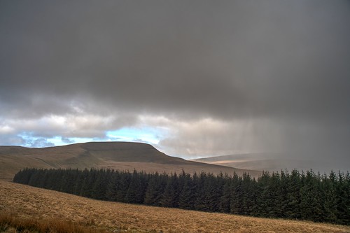
The views on the ascent are really clear and impressive as you see the steepest side of it and how it sits amongst the surrounding peaks, often walks towards a summit don’t give you the chance to capture the whole mountain easily.
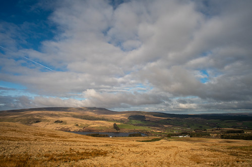
Looking to the right you also get great views of another range of six mountains that are on my to-do list.

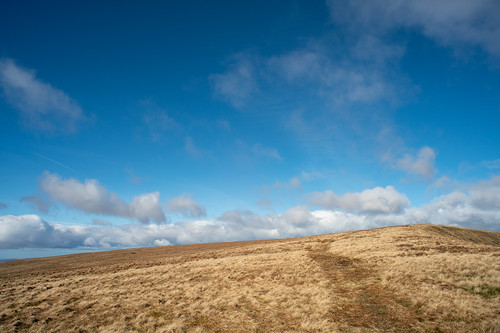
Once you are near the summit the path opens up and going is very smooth and easy towards another trig point that is painted white, but rather than a red Welsh Dragon it has Cofiwch Dryweryn written on it. This means Remember Tryweryn, and was originally painted by Author and journalist Meic Stephens onto the wall of a ruined cottage in the early 1960s following the decision by Liverpool City Council to flood the Tryweryn Valley to create the Llyn Celyn reservoir. It has since become a slogan of Welsh Nationalism.

I saw one couple, pictured above, walking ahead of me to the summit, but after my descent and as I approached the neighbouring Fan Fraith I saw a couple of groups approaching from the South. It was certainly not busy, but busier than I expected, it was great to see others enjoying a cold, but beautiful day.


You can walk back to the starting point by reversing your steps exactly, or you can drop down and take the gravel track all of the way. According to the OS Map you can take the South Wales Traverse down the West side and back to the road that way. This would be the shortest way up and down, but a lot steeper.
I had already planned to continue on to Fan Fraith as it is very close by, and then swing around to Fan Nedd, before heading back to the car via the gravel road. I’d really recommend this loop as it is under 12 miles total but takes in three mountains without any massive drops – although you do dip before Fan Nedd.
Leave a Reply